
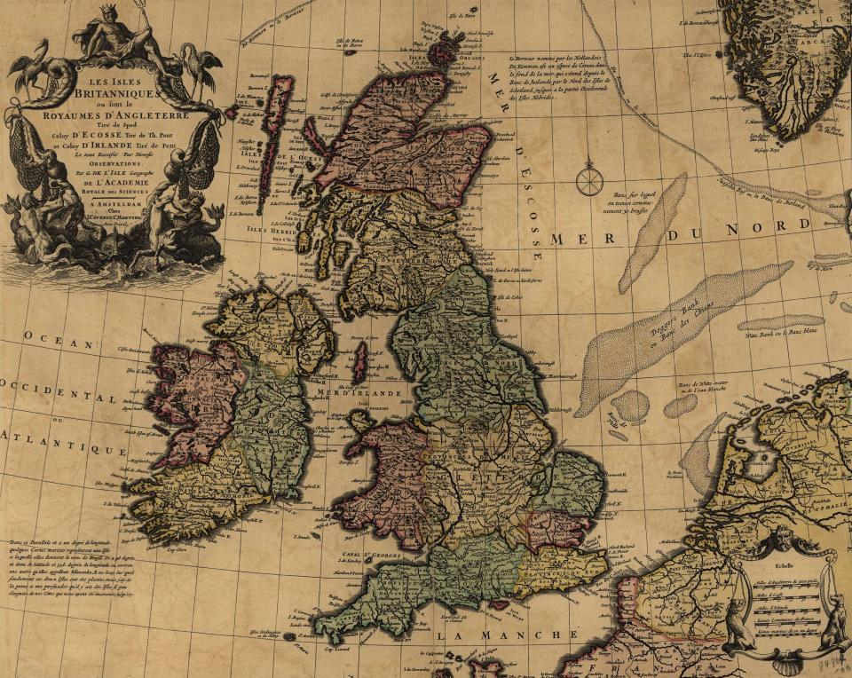
This early eighteenth century map of England and Ireland was printed in France and provided a detailed rendering of the local jurisdictions within the country. The mapmaker, Guillame De L’Isle, was known for his scientific accuracy in cartography. The cartouche suggests Britain’s reliance on the sea as the source of its power and prosperity.