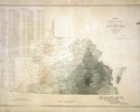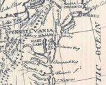
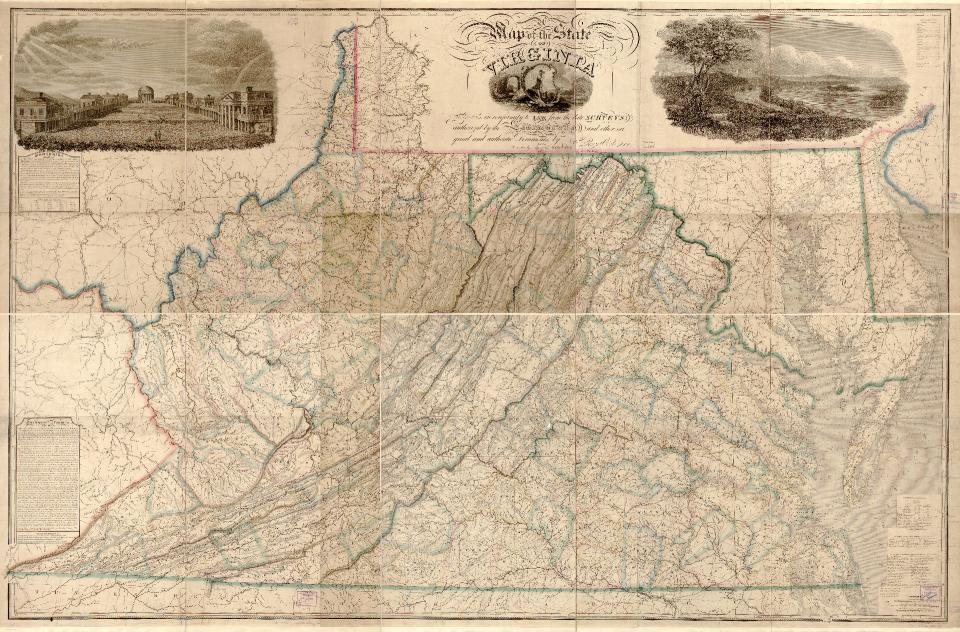
This map was produced by Herman Boye in 1826. At the time, Virginia’s territory included what is now the separate state of West Virginia. Boye decorated his map with three illustrations. The one in the upper left corner shows the grounds of the new University of Virginia.