Topic: Expansion

Lesson Plan
Jefferson and Expansion: Scaffolding Student Understanding of Cause and Effect
This lesson focuses on the following prompt: “Analyze the causes of and the resulting issues from the Louisiana Purchase. Concentrate your answer between the years 1790-1820.” The lesson will allow...
Lesson Plan
Lewis and Clark: Explorers or Conquerors?
When Jefferson purchased the Louisiana territory from France, he commissioned Lewis and Clark to explore the new territory. What was the purpose behind this mission? Were they sent as explorers...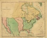

Media › image
A Map of North America
This map of North America was drawn not long before the Louisiana Purchase. The United States is shown here in green, with the Mississippi River as its western boundary. The...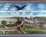

Media › image
A View of New Orleans
This painting celebrated U.S. acquisition of New Orleans as part of the Louisiana Purchase of 1803. Access to the port of New Orleans encouraged westward expansion because farmers depended on...

Media › document
Brutus, No. 1
The Anti-Federalist Robert Yates of New York wrote this essay under the penname “Brutus” in 1787. Like other opponents of the proposed U.S. constitution, “Brutus” accepted the conventional wisdom that...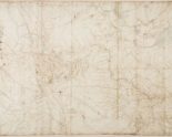

Media › image
Clark’s Map
William Clark, who explored the West with Meriwether Lewis, made this map in 1810. The Great Lakes appear in the upper right corner; the Pacific Ocean is on the extreme...

Media › document
Conference Committee Report on the Missouri Compromise
This report from a committee representing both houses of Congress paved the way for the Missouri Compromise of 1820. Missouri became a slave state and Maine became a free state,...

Media › document
Confidential Letter to Congress
In this letter to Congress, President Jefferson explained his plan to use trade as a weapon in his effort to put more white farmers on Indian land. Jefferson wanted to...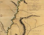

Media › image
Course of the River Mississippi
An English lieutenant made this map after 1763, when Great Britain acquired the Illinois territory as a result of winning the French and Indian War. Lieutenant Ross conducted the first...

Media › document

